Narragansett Bay and the edge of the sea
Providence sits at the head of Narragansett Bay, a deep tidal estuary that made the city a port, twice pushed the ocean into its downtown, and is recovering after a century of industrial pollution. This article reads the bay as the reason the city exists where it does — its colonial sea trade, its working waterfront, its hurricane defenses, and the quahog beds that still define Rhode Island's table.
The head of the bay
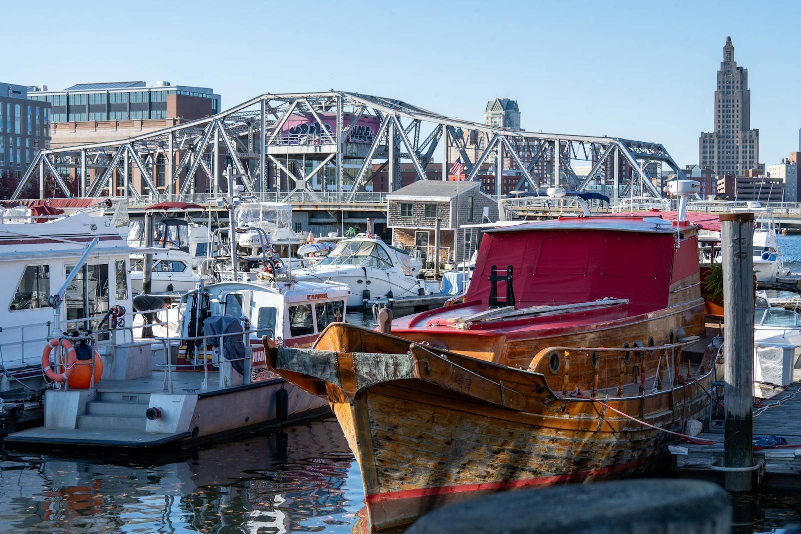
Providence stands at the northern tip of Narragansett Bay, where the Providence River empties into a tidal estuary — the largest in New England — that runs nearly thirty miles south to the open Atlantic. The bay is the reason the city is where it is. A settlement founded on a freshwater cove in 1636 by Roger Williams grew because that cove connected, through deep and sheltered water, to the ocean and to every other port on it.
By the late seventeenth century the waterfront had become a working harbor. Pardon Tillinghast built what is remembered as the town's first wharf around 1680, and Providence merchants used the bay to move goods out to the West Indies and beyond. Through the eighteenth century the city's prosperity was tied to maritime trade in rum, molasses, and other cargo — including, as in much of colonial Rhode Island, the trade in enslaved Africans. That commerce built fortunes, among them the Brown family's, and the wealth it generated is woven into the brick and granite of the older city.
It is worth naming plainly: the same bay that carried molasses and timber also carried human beings held in bondage. Rhode Island sent the great majority of the slave ships that left British North America, and Providence merchants — the Browns among them — outfitted slaving voyages, with the profits returning up the bay to the counting houses on the hill. The water was an opening to the world and, for many, an instrument of captivity.
The working port
The commercial waterfront never left. Today the southern edge of the city holds the Port of Providence, run since 1994 by the nonprofit ProvPort on a campus of more than 140 acres along the Providence River where it meets the bay. It is one of only two deepwater ports in New England, and it handles bulk and break-bulk cargo rather than the wooden ships of the colonial harbor.
What moves across the docks is unglamorous and essential: road salt for winter, cement, petroleum and other energy products inbound, scrap metal and equipment outbound. In recent years the port has also begun handling components for offshore wind projects in southern New England waters, a new chapter for an old industrial shoreline.
This is a different Providence from the restaurants and galleries upriver. The lower waterfront is tanks, cranes, and rail spurs — a reminder that the bay is still, first of all, a way for heavy things to reach the sea.
Saving the bay
The industry that made Providence also nearly killed the water it depended on. For much of the twentieth century the upper bay absorbed raw sewage and industrial waste; the federal Environmental Protection Agency once rated the Providence-area sewage problem the worst in New England, and stretches of the upper estuary were effectively an open sewer, with shellfish beds closed for decades.
The turn came in 1970, when residents organized to oppose an oil refinery proposed for the shore at Tiverton and went on to form Save The Bay. Incorporated that October, the organization grew into one of the region's most durable environmental advocates, working through advocacy, education, and habitat restoration to protect the water that drains into Narragansett Bay.
The recovery has been real, if incomplete. Clean-water bonds from the 1980s onward funded major upgrades to sewage treatment, and in the decades since, water quality in the upper bay and its feeder rivers has improved enough to reopen thousands of acres of shellfish beds. Sewage overflows after heavy rain remain a recurring problem — a spill in East Providence forced a closure of a major shellfishing area as recently as 2026 — and the work is ongoing, but the bay is measurably healthier than it was two generations ago.
When the sea came up the bay
The funnel shape that makes Narragansett Bay a good harbor also makes it dangerous. When a hurricane drives a storm surge north, the narrowing bay piles the water higher, and twice in the twentieth century it pushed the ocean straight into downtown.
The Great New England Hurricane of September 1938 sent a surge up the bay that put more than thirteen feet of water into the streets of downtown Providence, drowning the low basin at the head of the rivers and killing hundreds of people across Rhode Island. In 1954, Hurricane Carol produced an even higher surge — about 14.4 feet above mean sea level — and flooded the downtown again, barely sixteen years later.
The answer was engineering. Between 1960 and 1966 the U.S. Army Corps of Engineers built the Fox Point Hurricane Barrier across the Providence River just below downtown — a roughly 3,000-foot line of gates and earthen dikes, built at a cost of about $14 million, and the first hurricane barrier of its kind approved in the United States. When a storm threatens, its gates close and its pumps move the rivers' flow out to the bay. The low downtown that flooded in 1938 and 1954 has been protected by it ever since.
Quahogs and the edge of the table
For all its industrial history, Narragansett Bay is also a food source, and its signature is the quahog — a large, hard-shelled clam whose name comes from the Narragansett word poquauhock. The bay sits in the heart of quahog country, and the clam is so identified with the state that Rhode Island named the quahog its official state shell in 1987.
It was not always the headline catch. For generations the bay's prized harvest was the oyster, until pollution, the 1938 hurricane, and wartime labor shortages collapsed the oyster industry in the first half of the twentieth century. The quahog, hardier and abundant in the bay's mud, took its place at the center of Rhode Island cooking — chopped into the local clear and tomato chowders, baked into stuffies, and dressed up as clams casino.
The quahog is also part of the bay's recovery. The clams filter plankton and sediment as they feed, and the reopening of shellfish beds is both a sign of cleaner water and a working fishery. The connection between the health of the bay and what ends up on a Providence plate is direct: cleaner water means more open beds, and more open beds mean the local catch that gives the city's seafood its particular character.
Reviewed source trail
- Save The Bay — Our History — checked 2026-06-23
- Fox Point Hurricane Barrier — Wikipedia — checked 2026-06-23
- 1938 New England hurricane — Wikipedia — checked 2026-06-23
- ProvPort — Port of Providence — checked 2026-06-23
- New England Historical Society — How the Quahog Became a Rhode Island Icon — checked 2026-06-23
- State Symbols USA — Rhode Island State Shell (Quahaug) — checked 2026-06-23
- Brown University — Slavery, the Slave Trade, and Brown University — checked 2026-06-23
- Pardon Tillinghast — Wikipedia — checked 2026-06-23